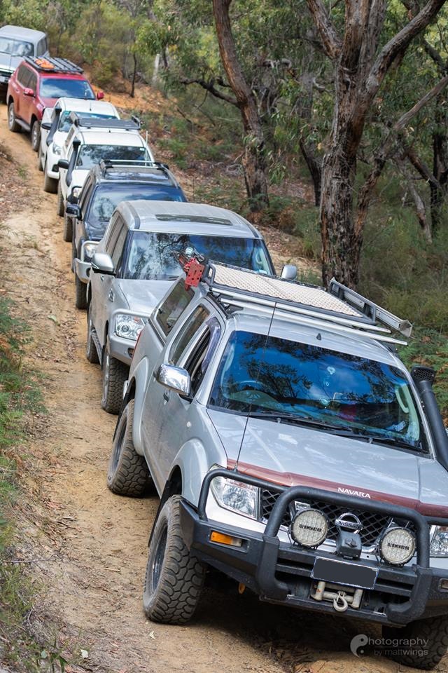
Join Club 4×4 and Geoff for a trip through the Snowy River National Park
| Club 4x4 Trip Notice | |
|---|---|
| Trip Location | |
| Location: | Snowy River National Park |
| Location and/or Description of Trip (Itinerary): | Trip through the Snowy River region of the Victorian High Country. I've planned out a basic itinerary, however this may change during the trip based on track difficulty and how fast or slow we get through things. This will generally be a cruisy trip but the tracks may be more difficult compared to previous years. We'll have plenty of time for some camping as well as some well deserved dips in the rivers. I'll post a more complete itinerary closer to time but generally we'll do Jacksons Crossing, the Deddick Trail and McKillops Bridge. Head for a camp on the Snowy River north of Suggan Buggan, we’ll take a look at the Little River Falls, Wulgulmerang Creek Falls Lookout as well as the Little River Gorge which is the deepest in Victoria. Campsite yet to be decided. Then do Ingeegoodbee Tk to McFarlane Tk and camp somewhere along the way to Native Dog Flat. Then half a day into Native Dog Flat Campground. If it’s busy there we’ll try for a camp along the Limestone Creek instead. We’ll do a quick trip up to the Rams Horn overlooking Native Dog Flat. It provides spectacular views of the surrounding valley. Ingeegoodbee Tk is rated Very Difficult, however it is likely to have been graded along with the rest of the tracks in the area. Camping at Native Dog Flat. We’ll do a day trip down to the Poplars and visit the VIC/NSW border and have a nice rest by the Buchan River. This is an Exit Point if you need to go home early. 2th Jan 2020: There are a few points where you could exit the trip early or possibly join the trip. Please contact Geoff if you need to leave early or would like to join the trip after the start. |
| Start Location: | Caltex Servo, cnr Princess Hwy and Sands Rd Longwarry |
| Finish Location: | Bruthen |
| Brief directions to meeting point: | Take the Princess Hwy to the Caltex Servo |
| Trip Times | |
| Start Date: | 26/12/2020 |
| Start Time: | 09:30 AM |
| End Date: | 02/01/2021 |
| End Time: | 12:00 PM |
| Date after which Prospective Members may book on the trip: | 01/12/2020 |
| Trip Details | |
| Trip Rating: | Difficult/Very Difficult |
| Trip Planning: | This is an exploratory trip based on some local knowledge and/or online research of track conditions |
| Maximum number of vehicles permitted: | 8 |
| Any specific requirements? | Yes lots... We are going to be off grid for a week and a half, there will be some Mobile Coverage along the way but only very rarely. You will need to carry food a fuel for the entire trip, the last fuel stop will be in Bruthen or the Buchan Valley Roadhouse with the next Fuel stop being in Swifts Creek. Allow for about 500-600 kms range just to be safe. Water will be available along the way but you should carry enough for 2-3 days at any point in time (5lt /person / day). Recovery gear for a Difficult/Very Difficult rated trip. If you have any queries please contact the Trip Leader. |
| Trip Leader | |
| Trip Leader Name: | Geoff Aldridge |
| Comments | |


