


Haunted Stream & Crooked River Tracks
Location: Haunted Stream & Crooked River
Trip Leader: Rory
Trip Rating: Medium/Difficult
Trip Dates: 18th to 21st April 2014
Itinerary: Haunted Stream Track, then down to Crooked River Track. We will take in other tracks as they present themselves.


Track for Day 1:
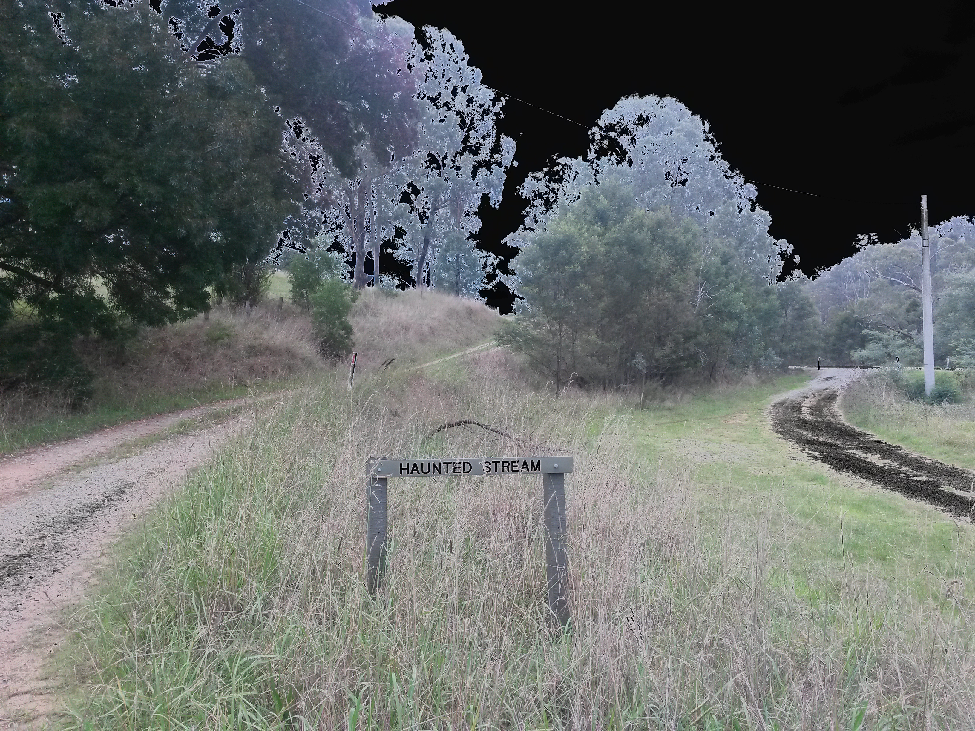
Not a good start to the day, as we lost our original trip leader (Bruce) to a broken axle the day before the trip. Rory took over and once we had all gathered at the meeting point we left for Haunted Stream.
Haunted Stream Track starts from the turnoff near Tambo Crossing and runs North-East all the way into Dawson City. It rained in the afternoon which made the trip more interesting nothing like driving down a river track in the rain). Kyle got bogged in a rutted mud hole and after a quick recovery the rest of the group took the track around it and continued on. The rain continued all afternoon and we spent a wet night camped at Dawson City with no fire.
Track for Day 2:
We left Dawson City and took the Dawson City Track north to Strobridge Hut. From there we traveled east to Mt Delusion Road and and stopped at Mt Delusion Hut for a short break. We left Mt Delusion Hut and traveled east (past McDonalds Hut) to Maize Paddock. Leaving Maize Paddock we went down Rudolf Gap Road and down onto Jones-Gidley Track past The Farm and onto the Upper Dargo Road. After a short stop at Black Flat campground we continued north to the turnoff with Downey Road taking this east then south past Treasures-Mt Ewan Hut to Grant Junction. We then took the Grant Road past the old Grant township northwest to Bulltown Spur Track, following this north into the Naarun (old town site). Here we camped for the night.
Track for Day 3:
Today was a lot of driving but lots of fun. We had camped near Naarun (old town site) the night before and left there traveling East down Crooked River Track to Talbotville. From there we followed Racecourse Track and onto Tea Tree Range Track. There are some nice views of the surrounding landscape from on top of some of these hills. Towards the North end of Tea Tree Range Track we turned into Mount Hart Track and then down Harts Spur Track. Harts Spur Track took us down (22 minutes driving) into the South-East end of the Wonnangatta Valley. We had lunch at the bottom of Harts Spur Track.
After lunch we drove to the bottom of Herne Spur Track and started the climb to the summit. The track is in exceptionally good condition (even the steep section at the top) and we made quick work of it stopping at the top to wait for all the cars to arrive. From the top of Herne Spur Track we followed Cynthia Range Track and back down into Crooked River. Cynthia Range Track contains a lot of hills and you spend your time climbing up then and then back down into the small valleys. Once again there are stunning views of the mountains around from on top of Cynthia Range. We camped the night down in the valley next to Crooked River.
Track for Day 4:
We packed up in the morning and took Randalls Track (Randalls Track is not too steep but a little rocky, an interesting little track to end the trip with) to Hibernia Road and then onto the Dargo High Plains Road and down into Dargo.
We spent a little time in Dargo before heading back up Melbourne.
