


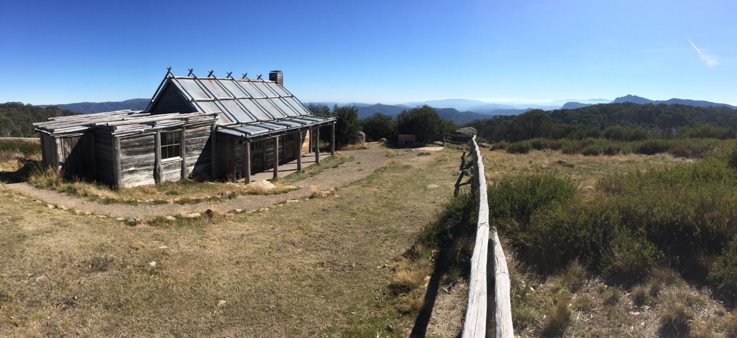
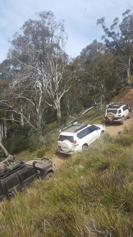
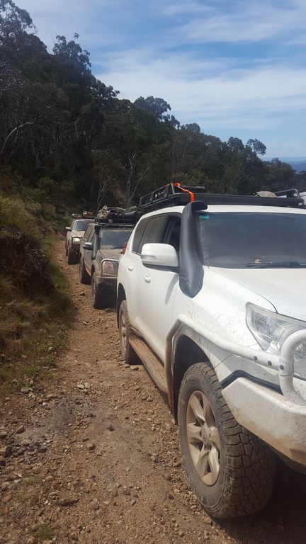
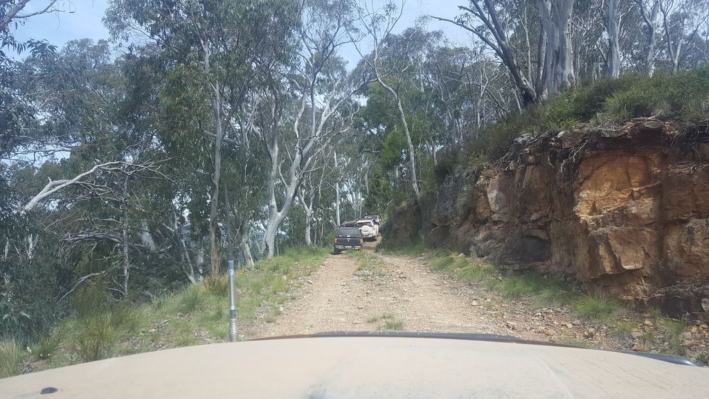
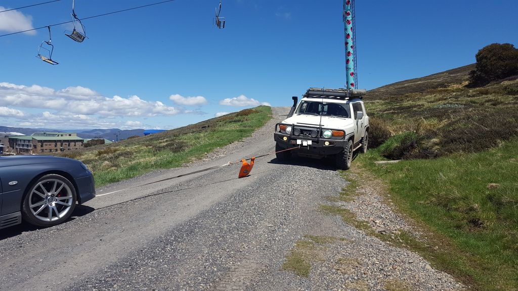
Join Vince and Club 4×4 for a two day trip around Mt Stirling and the King River Basin.
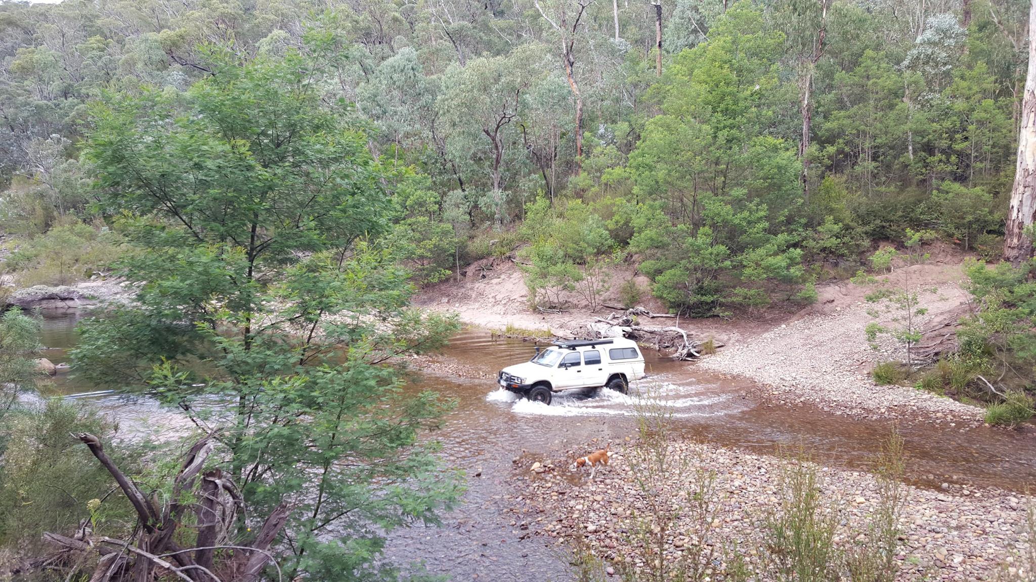
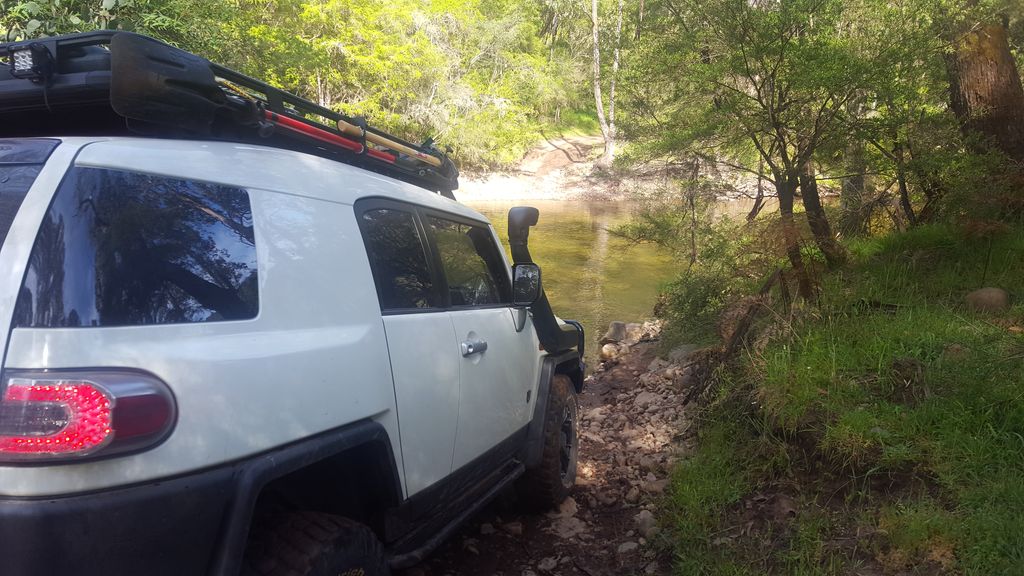
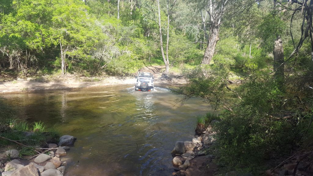
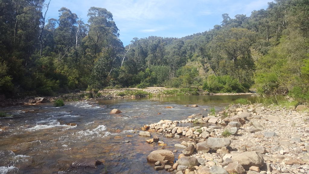
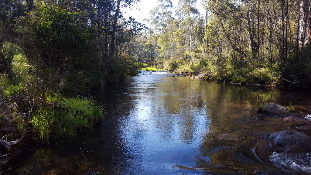
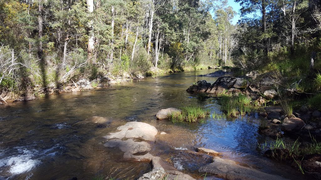
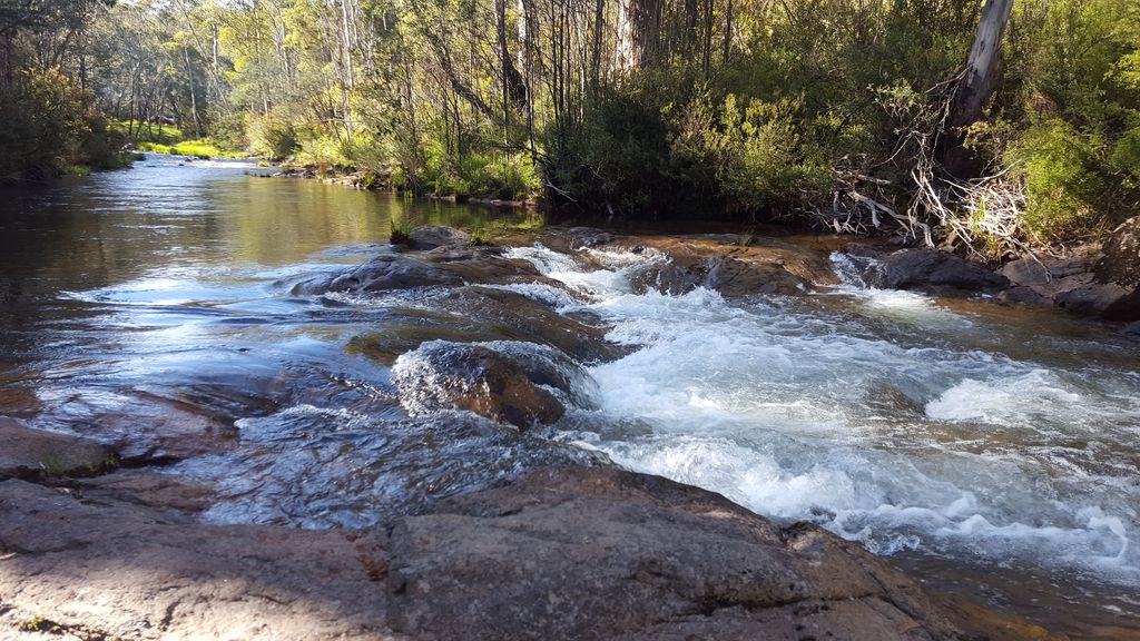
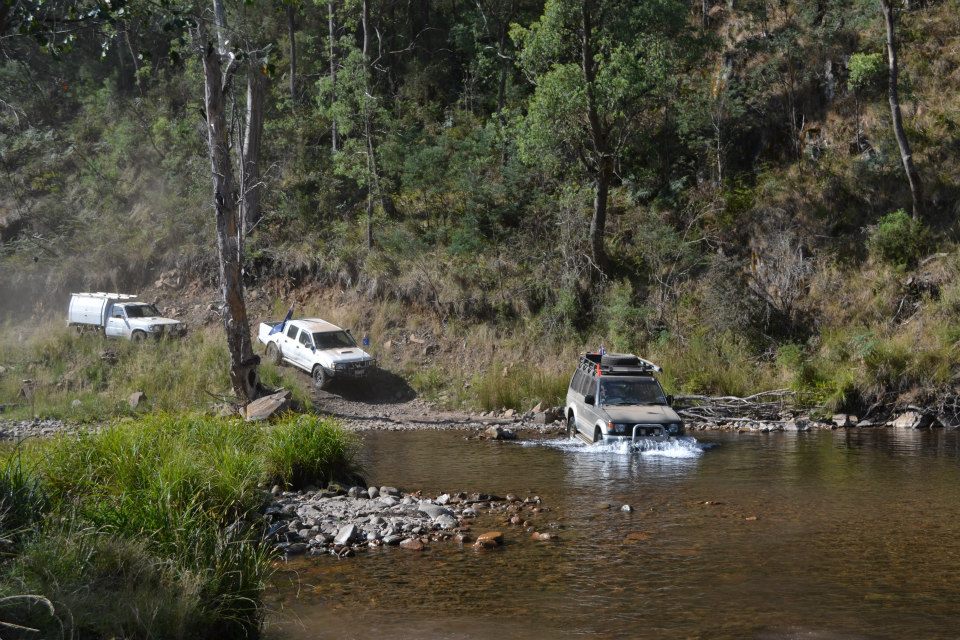
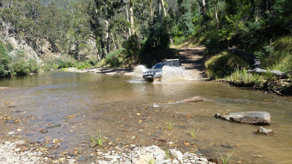
River Crossings
Trekking through the Wilderness – June 2017
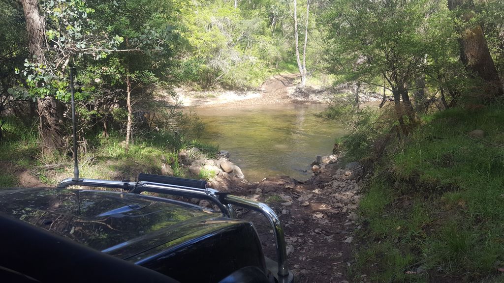
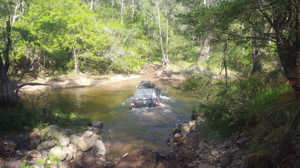
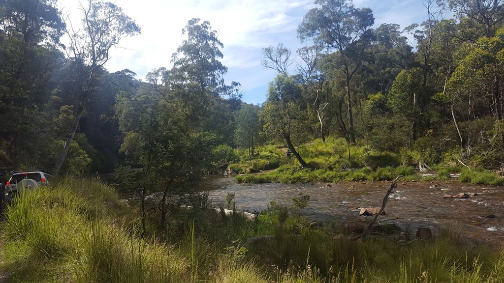
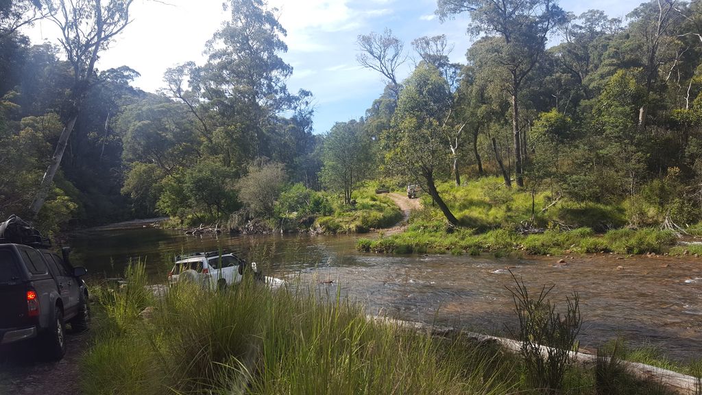
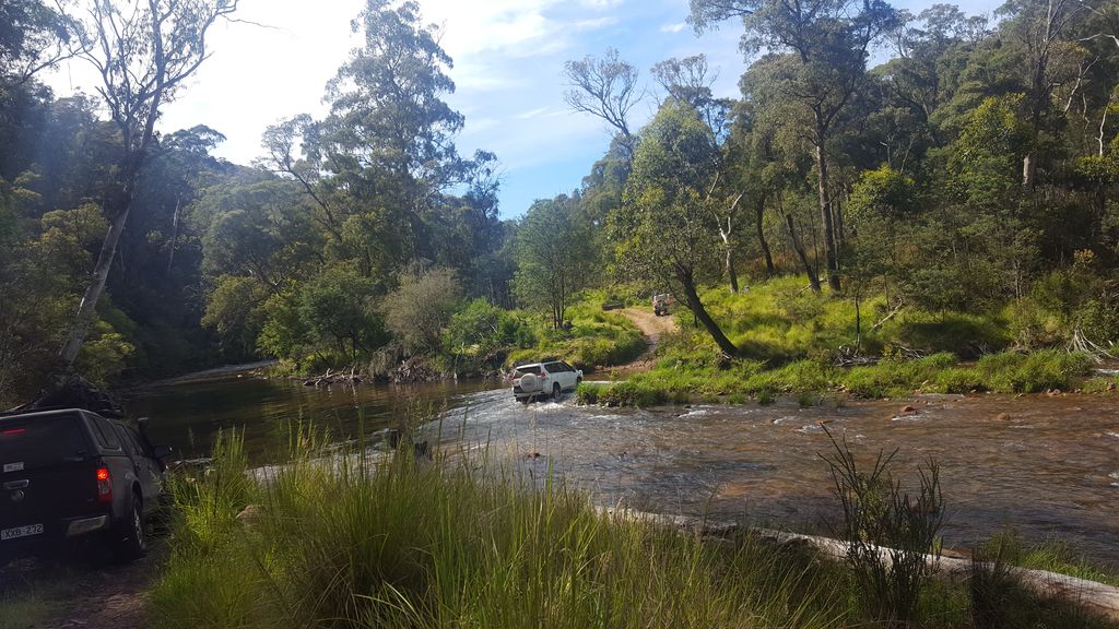
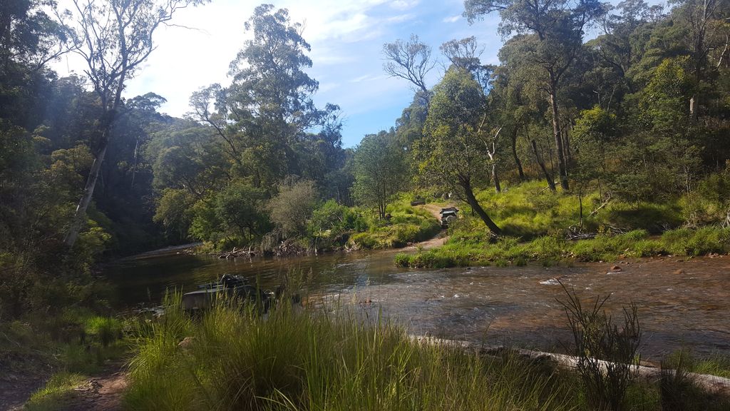
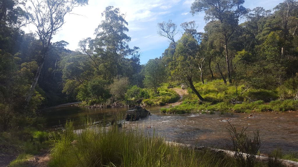
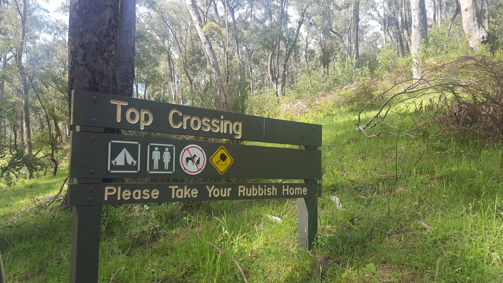
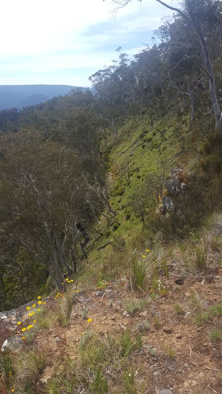
Join Chris and Club 4×4 in trekking through the wilderness in the Avon River Wilderness Reserve. This annual trip is a beautiful exploration through the unspoiled Avon Wilderness area with its amazing views and picturesque river crossings. Please refer to the trip notice below on specific requirements for this Difficult but enjoyable trip.
Tracks for Saturday:
Tracks for Sunday:
Haunted Stream – May 2017
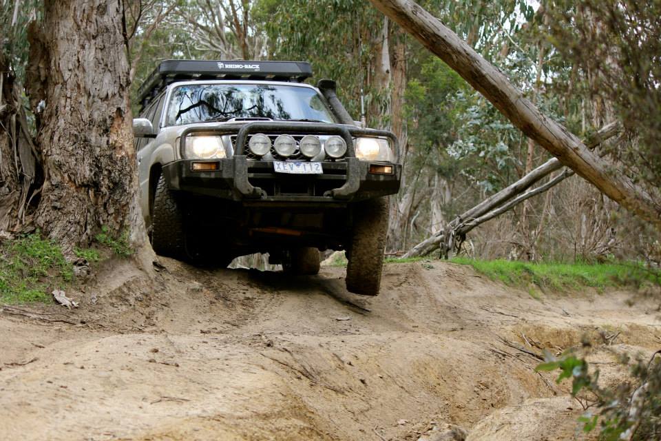
Join Patrick and Club 4×4 when they travel to Tambo Crossing to drive the Haunted Stream track for the first time in 2 years. Closed in 2015, this area of the High Country has been eagerly anticipated to re-open.
Itinerary
Depending upon which group you select, the trip will commence at Tambo Crossing on Saturday morning. The early group will head up on Friday night and camp at Tambo Crossing; whilst the late group will also head up on Friday night, but stay at Bairnsdale Caravan Park. The trip will be run as two groups, around 30 mins apart, but doing the same tracks. On Saturday, the groups will tackle the Haunted Stream track to Dawson City. On Sunday, the groups will venture into Dargo and head home.
Area: https://goo.gl/oshwr3
Frenchmans Creek – March 2017
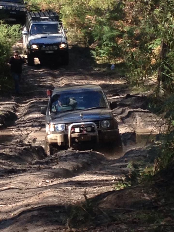
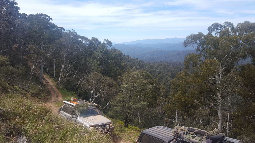
Join Rob and Club 4×4 in an exploratory venture into Big River and the beautiful middle High Country taking in Frenchmans Creek and Woods Point.
Itinerary
Departing early on Saturday, the plan will be to meet at Marysville Bakery for breakfast then venture into the Big River State Forest for the weekend before popping out to the east at Woods Point (Trip area). Trip will start and finish at Marysville and the exploratory nature of the trip means we don’t know what’s in store grading wise, but the views will be amazing!
Saturday Tracks:
Sunday Tracks:
Father/Son weekend – April 2017
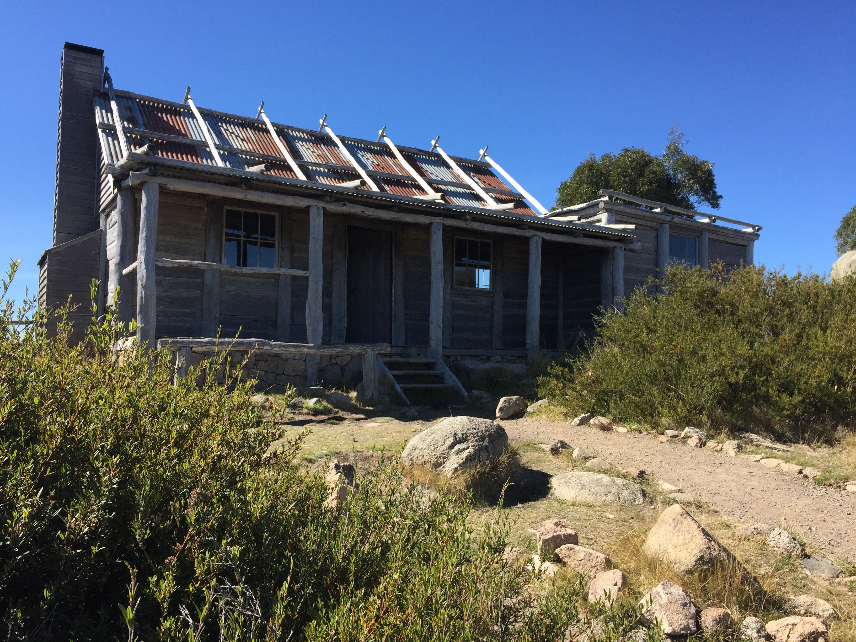
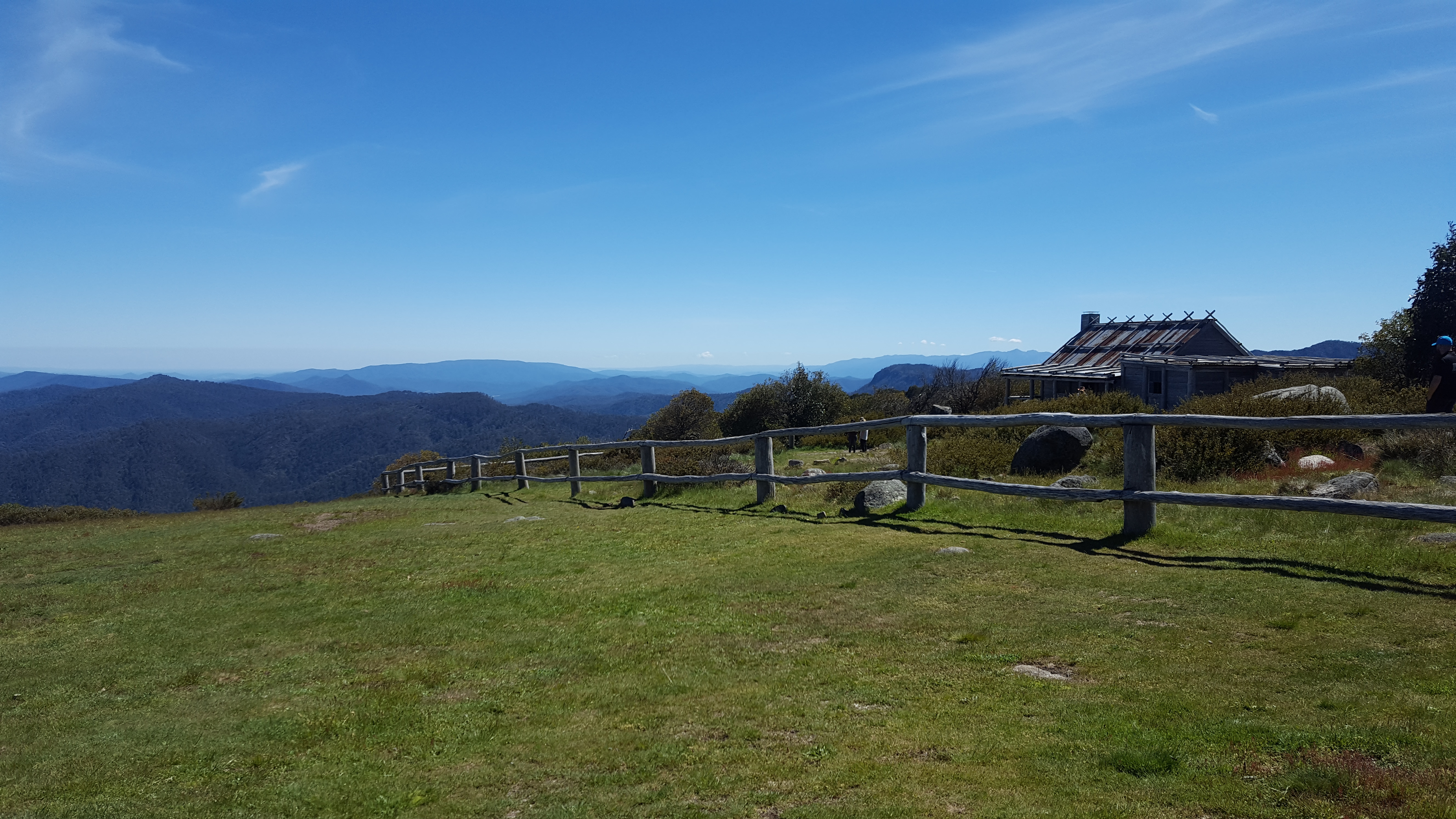
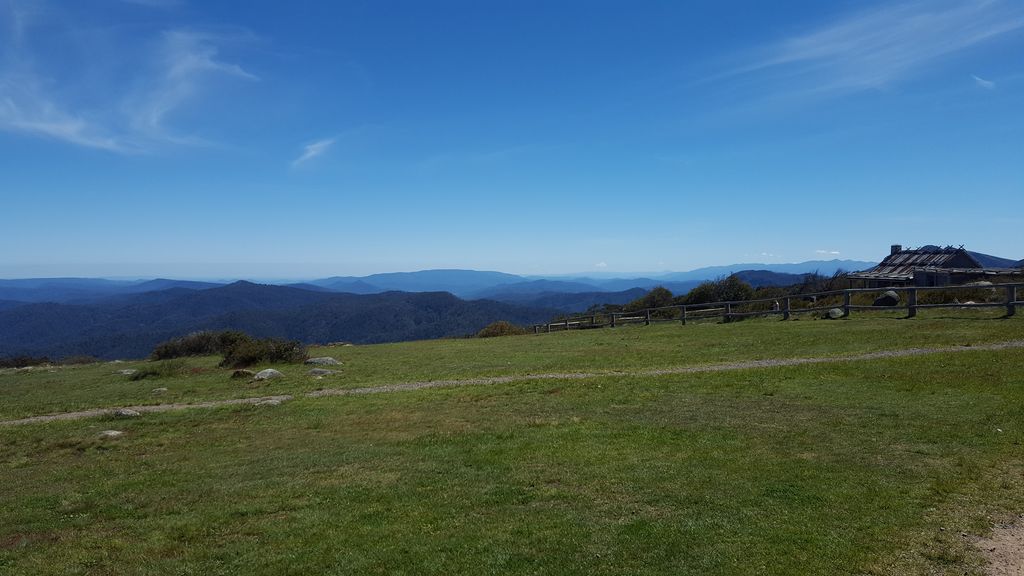
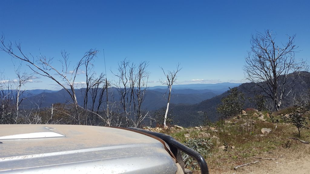
Join Arron and Club 4×4 in a multi-generational exploration of the Vic High Country around Craig’s Hut (Craig’s Hut location) in the Father/Son weekend trip. As the title suggests, please bring your Son or Father along as we enjoy journey in and around Mt Stirling. Enjoy tales around the campfire, take in the breathtaking scenery and spend quality time with Dad (or son).
Itinerary
Departing on Friday evening, the plan will be to camp at Pineapple Flat on Friday night then early on Saturday, head up to Craig’s Hut and then take on Clear Hills Track over the top of Stirling (only if it is open, which is rare) or down Monument track, onto Bindaree Falls, down to Lovicks Hut, then taking the Bluff Link Road past Bluff Hut and camping at 8 mile Flat on Saturday night. Sunday will be a nice late sleep (and if desired, the 8km hike to Ritchies Hut) before departing via Sheepyard Flat.
Whitfield wandering (Take 2) – Nov 2016
Join Arron and Club 4×4 in exploring the great tracks in the northern section of the Alpine NP around Whitfield and Mt Stirling.
Friday: Night drive into Sandy Flat campsite

Saturday: from Sandy Flat to Pineapple Flat
Sunday: Pineapple Flat to Mt Buller via Craigs Hut
Whitfield wandering – Sept 2016
Join Arron and Club 4×4 in escaping the city for the Grand Final long weekend by exploring the area around Whitfield including the open tracks in the Alpine NP.
A weekend at Walhalla – Jan 2016
Join Chris and Club 4×4 exploring some of the great 4WD tracks around historic township of Walhalla.
Day 1:
Day 2:
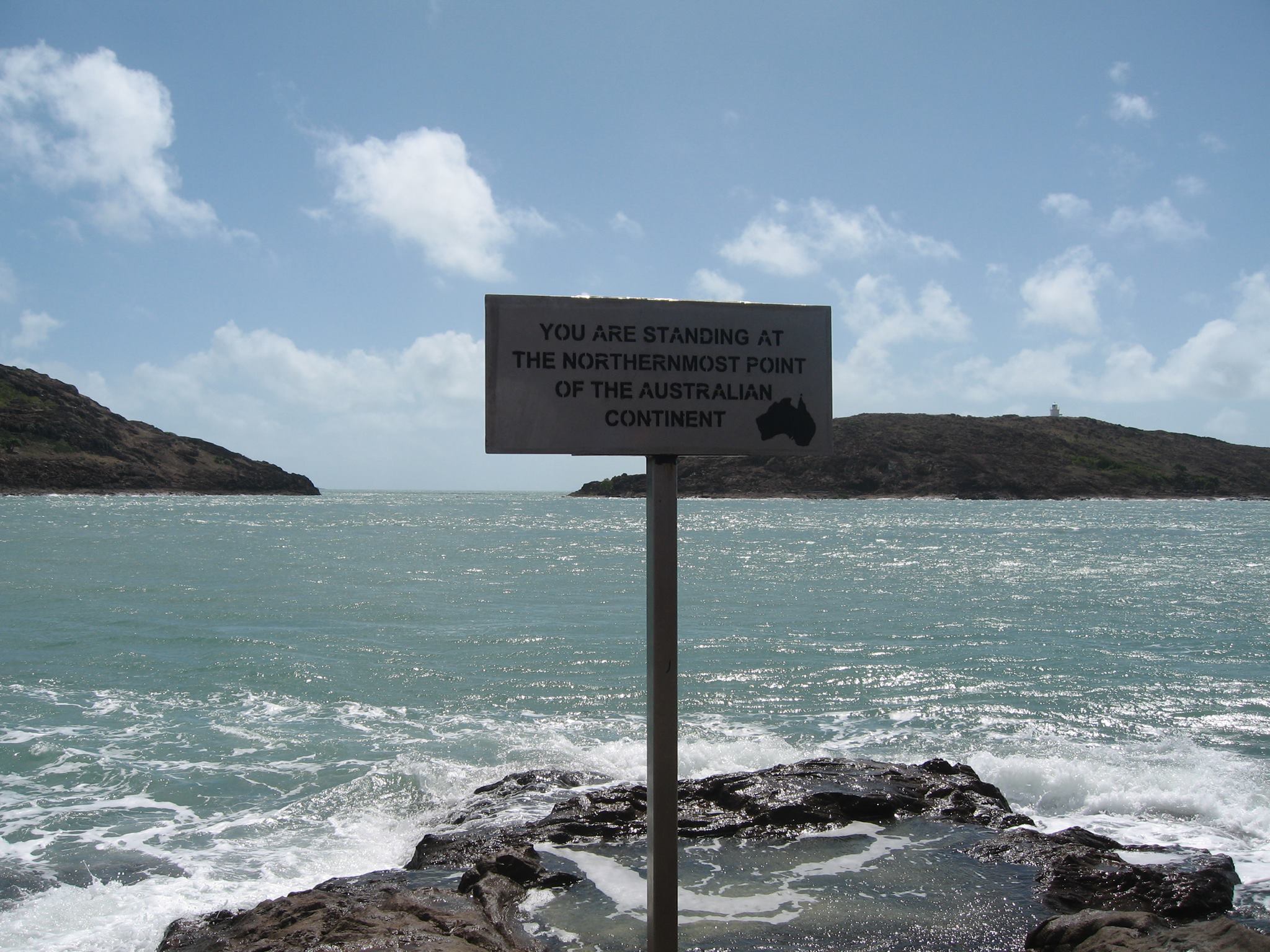
Exploring Cape York – Oct 2016
Club 4×4 is going to Cape York in 2016, it’s going to be an awesome trip.
We’ll spend a bit over 3 weeks exploring Cape York. We’ll be visiting some of the iconic sites in Cape York including the Old Telegraph Line and a trip to Thursday Island. The plan is to start in Cooktown and work our way north ending up at the northern most tip of the Australian mainland. Then work our way back south taking in many of the wonderful sites that the cape has to offer. The trip will finish in Laura.
See the Trip Notice for more details and also there’s a whole section on trip planning for you to read: Cape York Planning Information
Day 1: Cooktown to Musgrave Roadhouse
Day 2: Musgrave Roadhouse to Moreton Telegraph Station
Day 3: Moreton Telegraph Station to Dulhunty River
Day 4: Dulhunty River to Eliot Falls
Day 6: Eliot Falls to Punsand Bay
Day 8: Pujinka
Day 10: Punsand Bay to Captain Billy Landing
Day 12: Captain Billy Landing to Moreton Telegraph Station
Day 13: Moreton Telegraph Station to Chili Beach
Day 14: Portland Roads
Day 15: Chili Beach to Weipa
Day 16: Penefather River
Day 18: Weipa to Archer River Roadhouse
Day 19: Archer River Roadhouse to Saltwater Creek
Day 20: Saltwater Creek to Kalpowar Crossing
Day 21: Kalpowar Crossing to Bathurst Head
Day 23: Bathurst Head to Kalpowar Crossing
Day 24: Kalpowar Crossing to Laura
Planning for Cape York – Sept/Oct 2016
Club 4×4 is going to Cape York in 2016, it’s going to be an awesome trip.
To help prepare for the trip we’ve collated information and links for club members. Please be aware that information does change and we will endeavour to make every effort to update this post prior to the trip leaving.
If you have any queries about the trip or the information then please contact the Club Events Manager.
Trip Details/Itinerary
The trip will officially start at Cooktown and finish at Laura. This will allow Club Members to take advantage of making their own plans for getting there and back. It makes it easier if you want to take your own holidays before or after this trip.
Start Date: Saturday 1st Oct 2016
End Date: Monday 24th Oct 2016
Start Location: Cooktown
End Location: Laura
Trip Distance: 10,000 km, while the trip will not start or finish in Melbourne the total distance covered (return to Melbourne) should be no more than this.
No. of Vehicles: At this stage we’ve set this at a maximum of 10.
Itinerary: An itinerary is currently being worked on. If you have any suggestions of places you would like to go or see please contact the Club Events Manager.
Camper Trailers: Sturdy camper trailers designed specifically for off-road/4WD conditions will be allowed on the trip.
Food: You will need to cater for yourself for the duration of the trip.
Fuel: Diesel and unleaded petrol are available in Cape York. However gas is unlikely to be available. Please check with the local web sites or fuel stations for availability closer to the trip.
Booking for the Trip
Booking for this trip will be using the normal booking form while bookings are still open.
Due to the nature of this trip and the requirement to book annual leave and camping/accommodation in advance there will be fairly long lead times for booking on the trip.
General Information about Cape York
There is lots of information about Cape York out on the interwebs, however here’s a few links to get you started.
- Cape York – Parks and Reserves (Visitor Guide)
- Tourism Cape York
- CapeYork.org (Information)
- Cape York – Wikipedia
- Cook Shire – Web Site
- Cape York Trek – ExplorOZ
- Cape York Travel Guide
- Moreton Station
- Bramwell Station
- Cooktown and Cape York
- Mulleys Market and Fuel (Coen)
- Laura Roadhouse
- Quinkan Cultural Center (Laura)
- Little Laura River
- Ferry to Thursday Island
National Parks
We will be staying in a number of National Parks in Cape York, here’s some quick links to the parks pages.
- Cape Melville National Park
- Jardine River – National Park
- Black Mountain – National Park
- Annan River – National Park
- Endeavour River – National Park
- Kutini-Payamu (Iron Range) National Park (CYPAL)
- Mount Cook – National Park
- Oyala Thumotang – National Park (CYPAL)
- Rinyirru (Lakefield) – National Park (CYPAL)
Camping and Accommodation
A few links relating to accommodation and camping fees. We’ll update these with more information as the trip planning progresses.
Please note that not all campsites will have toilets though the large majority of them will. Some campsites will have showers and we will endeavour to pop into these places on a regular basis.
Trip Preparation
Long trips to remote areas require a carefully planned trip and well set up vehicle. Here are some links to web sites containing information on how to prepare your vehicle for a remote area trip.
If you are bringing along a camper trailer there will be additional spares that you will be required to carry (e.g.: spare set of wheel bearings and grease).
Road Conditions
Permits
From: Cape York Permit Information
The only permit currently required to access the tip of Cape York is one from the Injinoo people. This is however included in the cost of the ferry across the Jardine River. A small information booklet is also normally provided. The ferry charges include your return trip, so make sure you keep your ticket. Be warned that the old vehicle crossing is now too deep to cross. The Jardine Ferry shop can be contacted on (07) 4069 1369. Camping at the very nice camping ground adjacent to the ferry and shop on the south bank of the Jardine is available at $5 per person per night as at January, 2009. Some contact details for camping at the Tip include: Loyalty Beach (07) 4069 3372; Seisia Camping Ground (07) 4069 3243 and Punsand Bay (07) 4069 1722.
From: Jardine River Ferry
NPA Regional Council also operates the Jardine Ferry service, connecting Northern and Southern stretches of Peninsula Development Road.
Ferry Hours: 8am to 5pm
Enquiries: Northern Peninsular Area Regional Council – Bamaga
Phone: 07 4090 4100
Ferry: 07 40691369 Fax: 07 40692808
Prices effective Wednesday 1st May 2013
Single Vehicles $129 return
Vehicle with Trailer/Van $145 return
Motor Bikes $67 return
Fishing
Queensland has its own set of rules for recreational fishing. Information is provided at Recreational fishing rules and regulations for Queensland.
The new “Qld Fishing App”, which features fishing rules in Queensland, including size and possession limits, is now available for download from Google play and the iTunes App Store.
Alcohol Restrictions
There are currently alcohol restrictions in 19 communities across Queensland. This trip will be travelling through some of them.
It is your responsibility to be aware of the restrictions and to adhere to them. Severe fines and penalties apply if you break the laws.
More information can be found on the QLD Government website and/or the links below: